Dual Fluxgate Magnetic Mapping System with Real-Time Heatmap Visualization GRADİOMETER - MAGNETOMETER
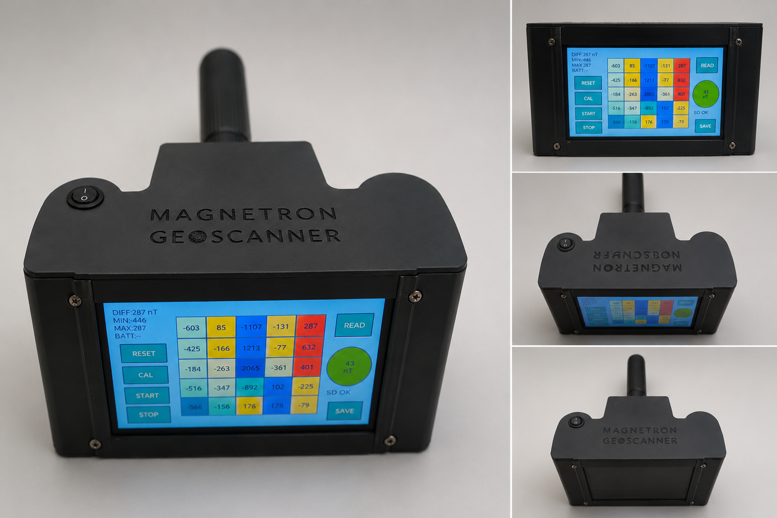
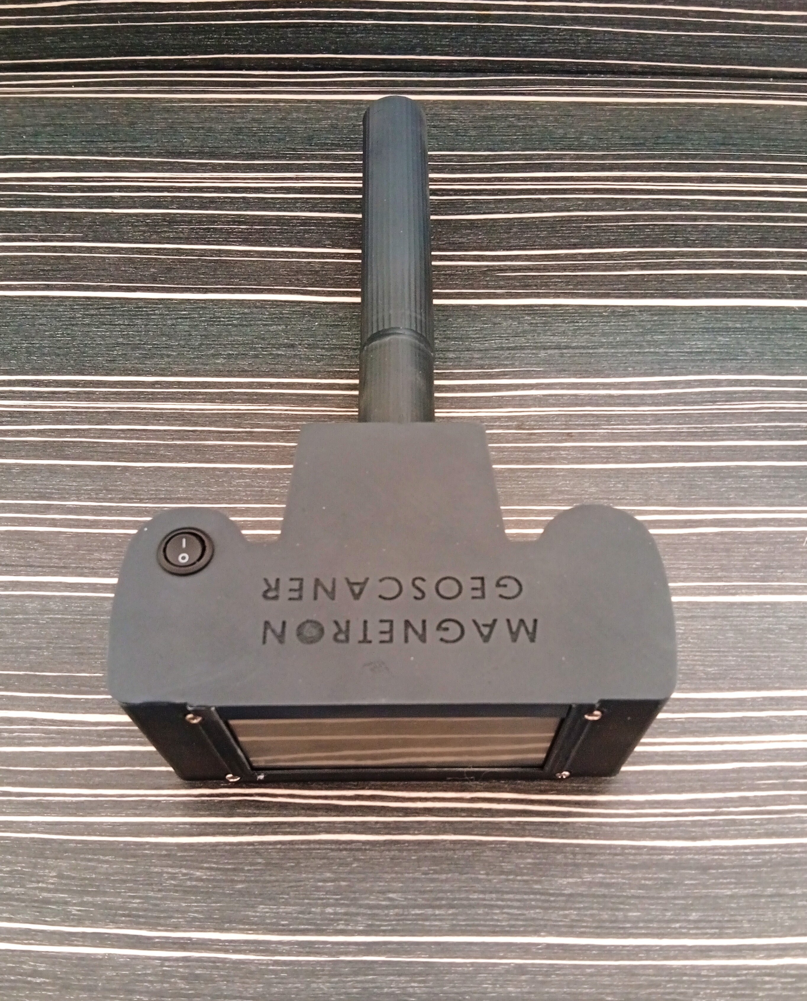
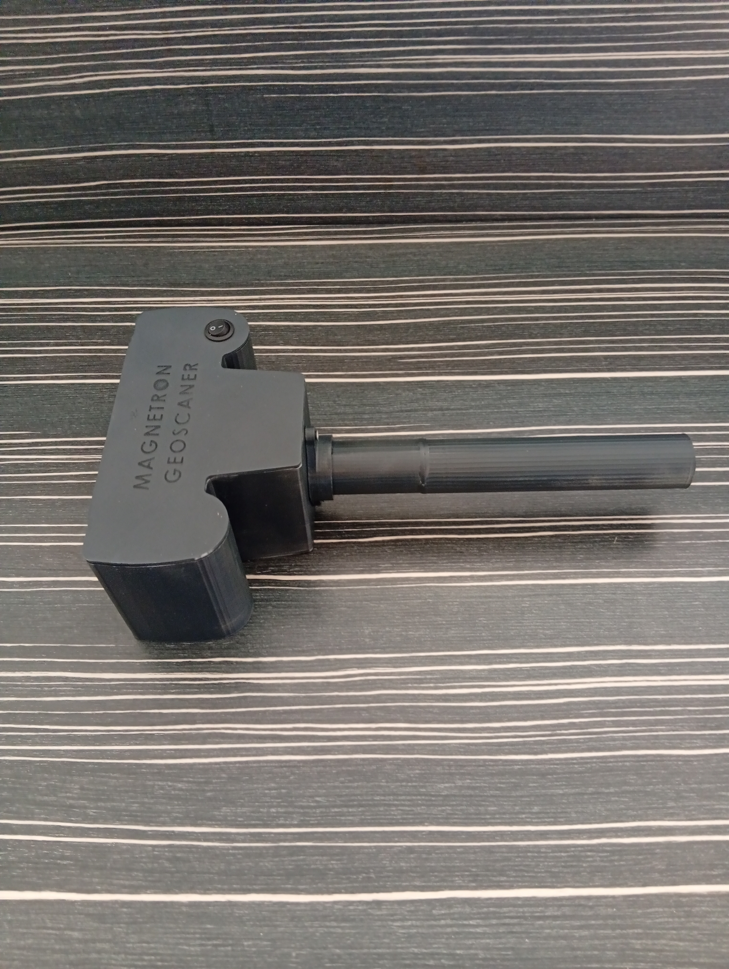
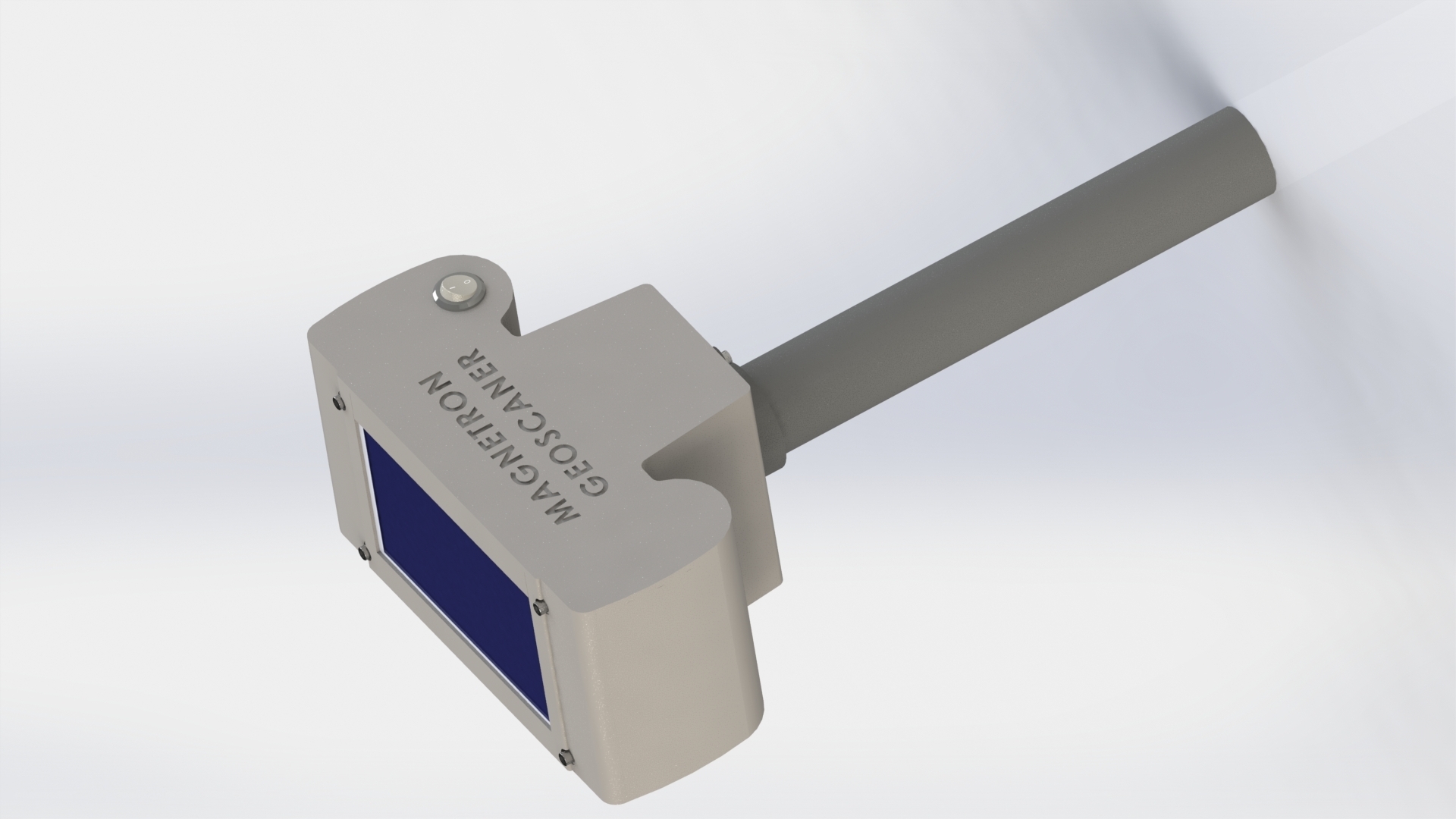
MAGNETRON GEOSCANNER BASIC is a portable magnetic field mapping device designed for DIY research, experimental surveying, geological observation, and magnetic anomaly visualization applications.
Unlike conventional metal detectors, this system does not identify specific metals or guarantee underground object detection. The device measures relative magnetic field variations and visualizes them as a real-time heatmap using a dual fluxgate differential sensing system.
The system operates using two vertically aligned fluxgate magnetic sensors and differential magnetic field analysis. Variations in subsurface structures, geological formations, disturbed soil, mineralized regions, or ferrous materials may produce detectable magnetic anomalies within the Earth's natural magnetic field environment.
Non-magnetic regions or cavities may also produce relative negative magnetic responses when compared to surrounding areas with stronger magnetic activity.
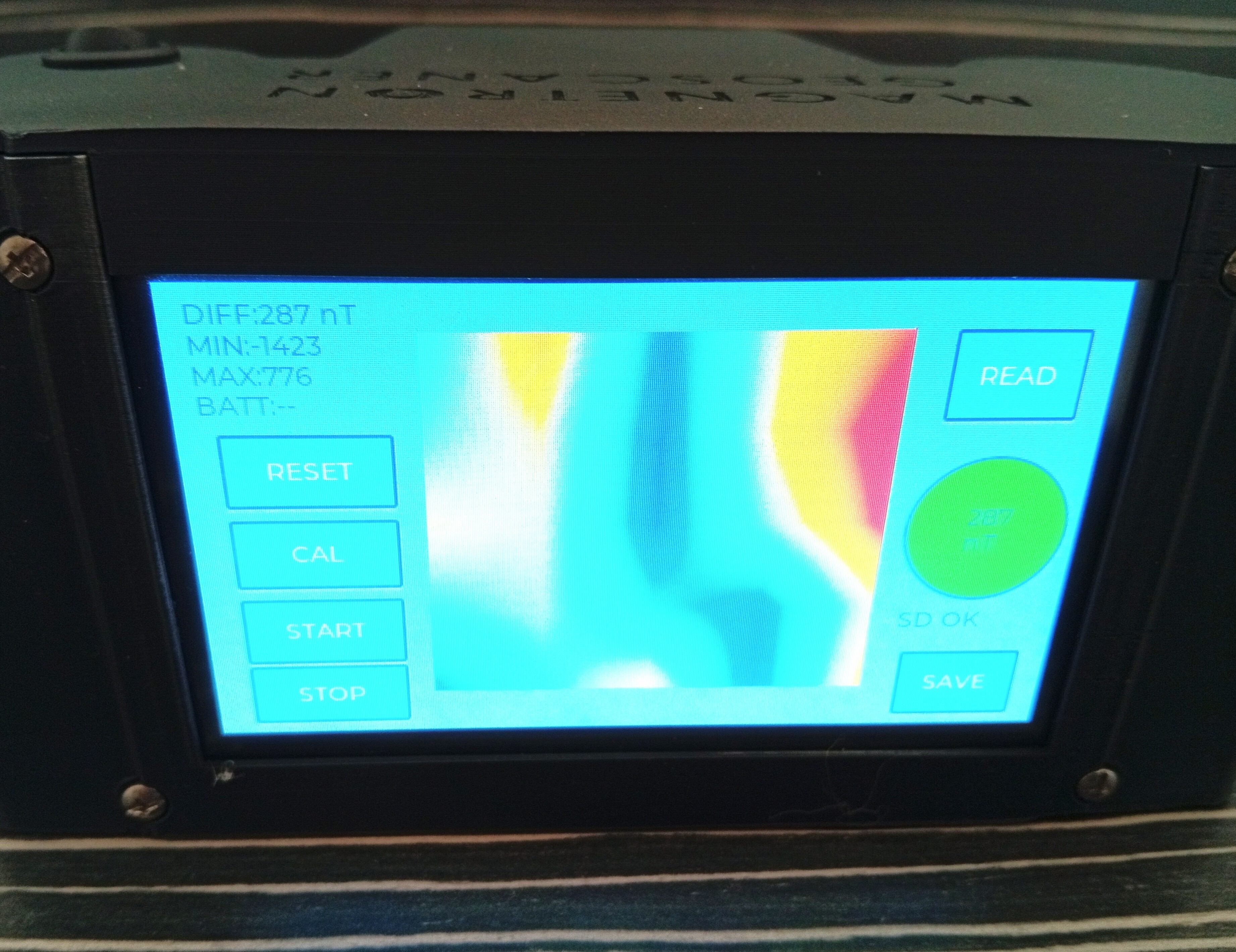
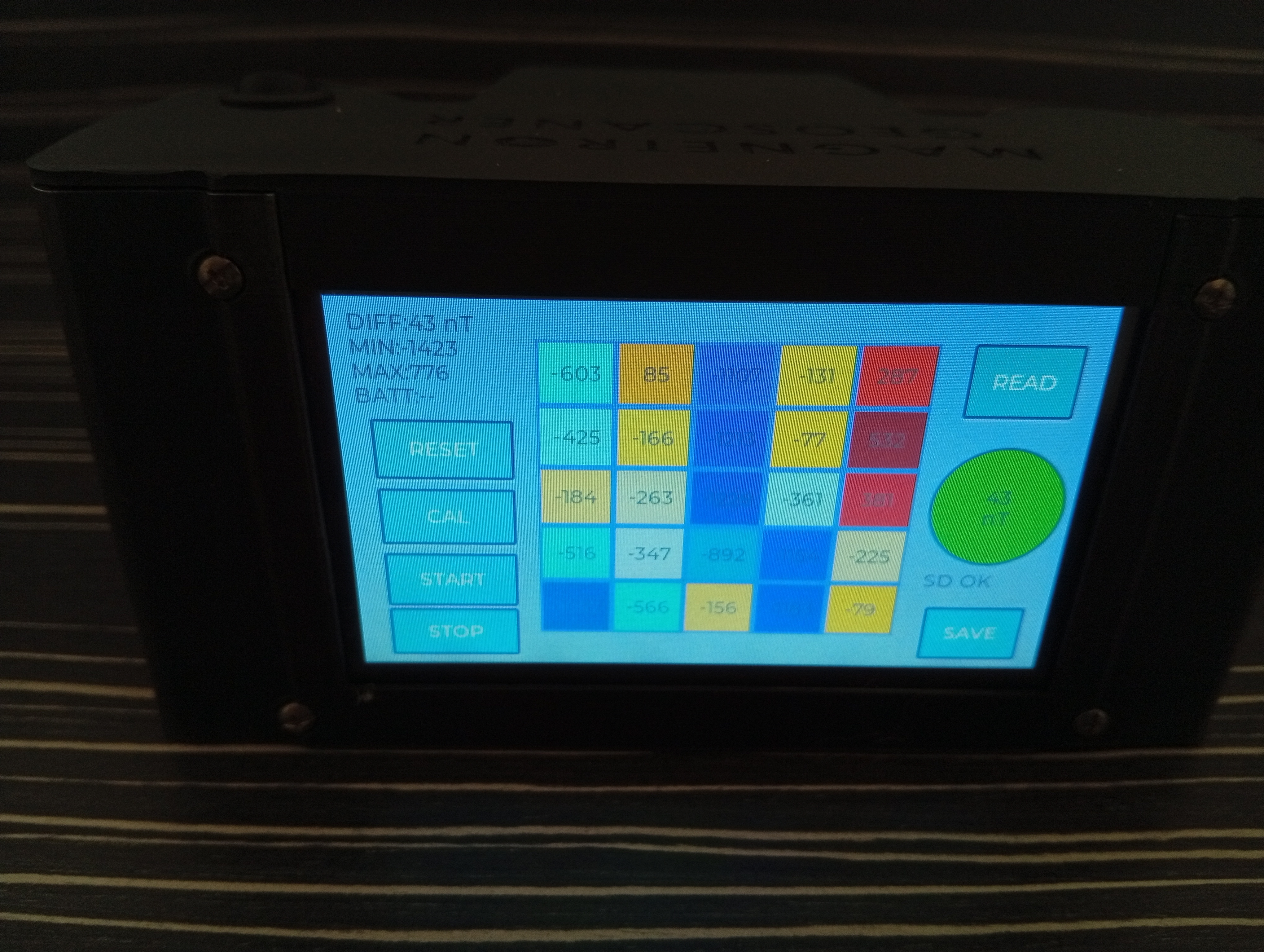
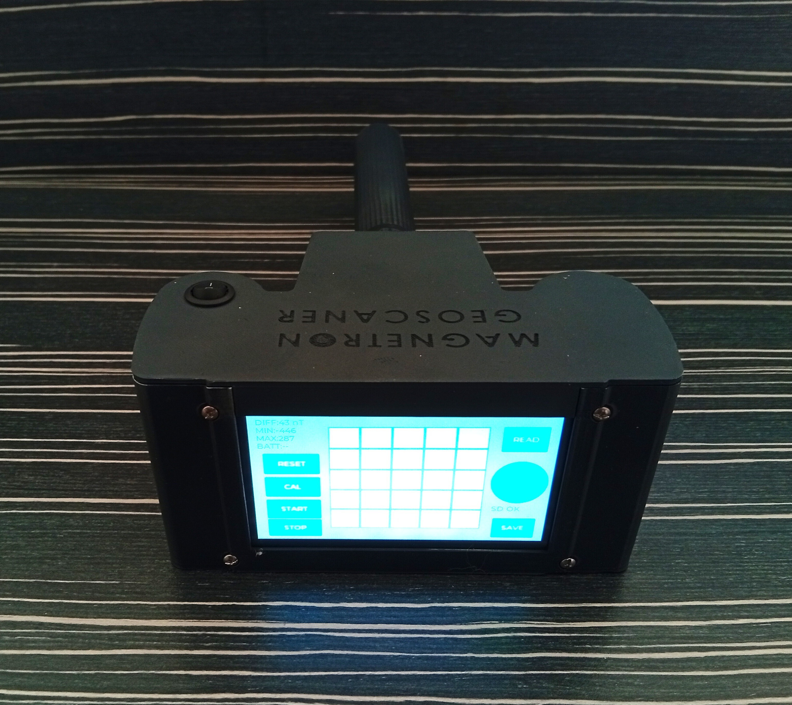
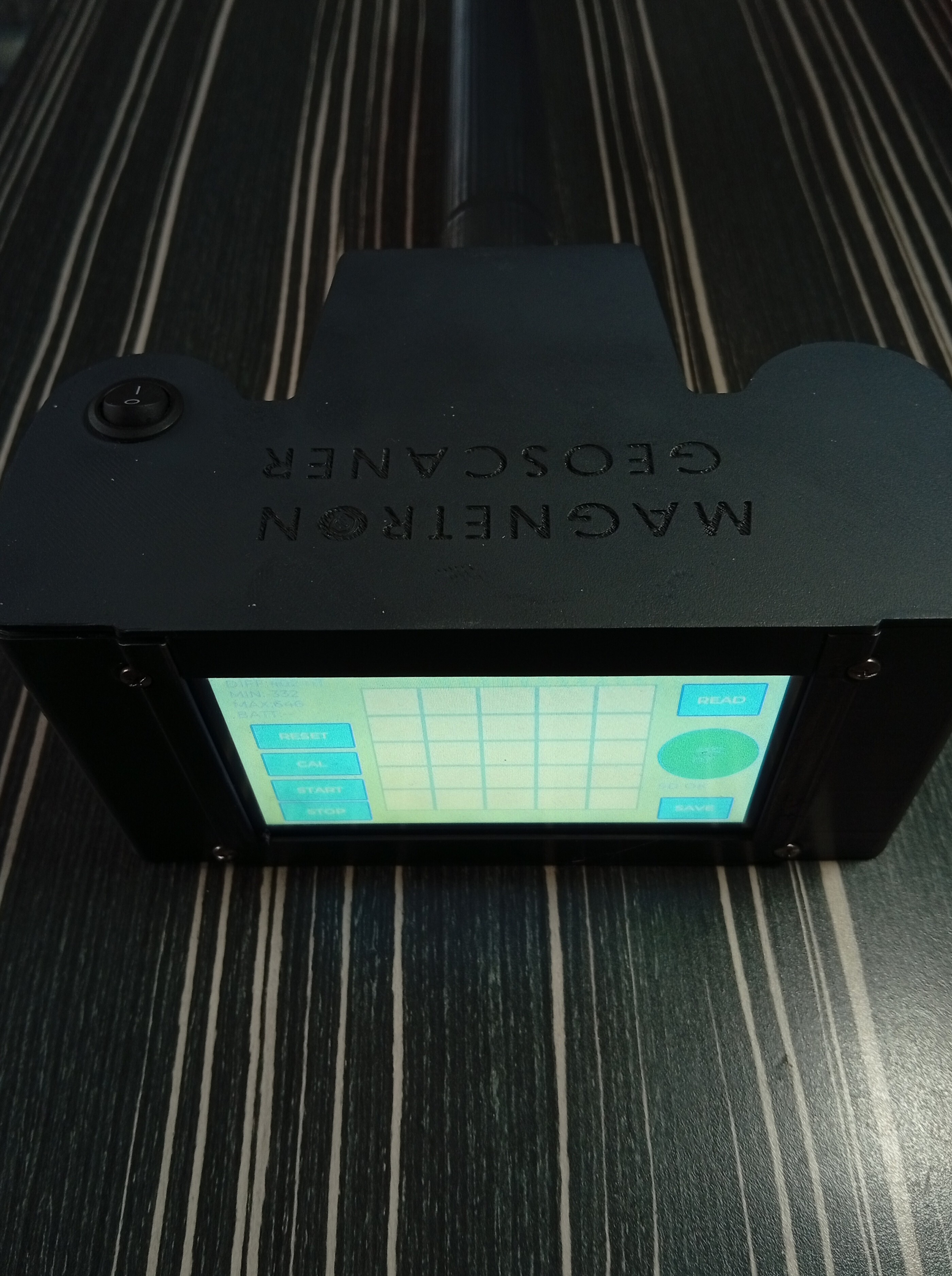
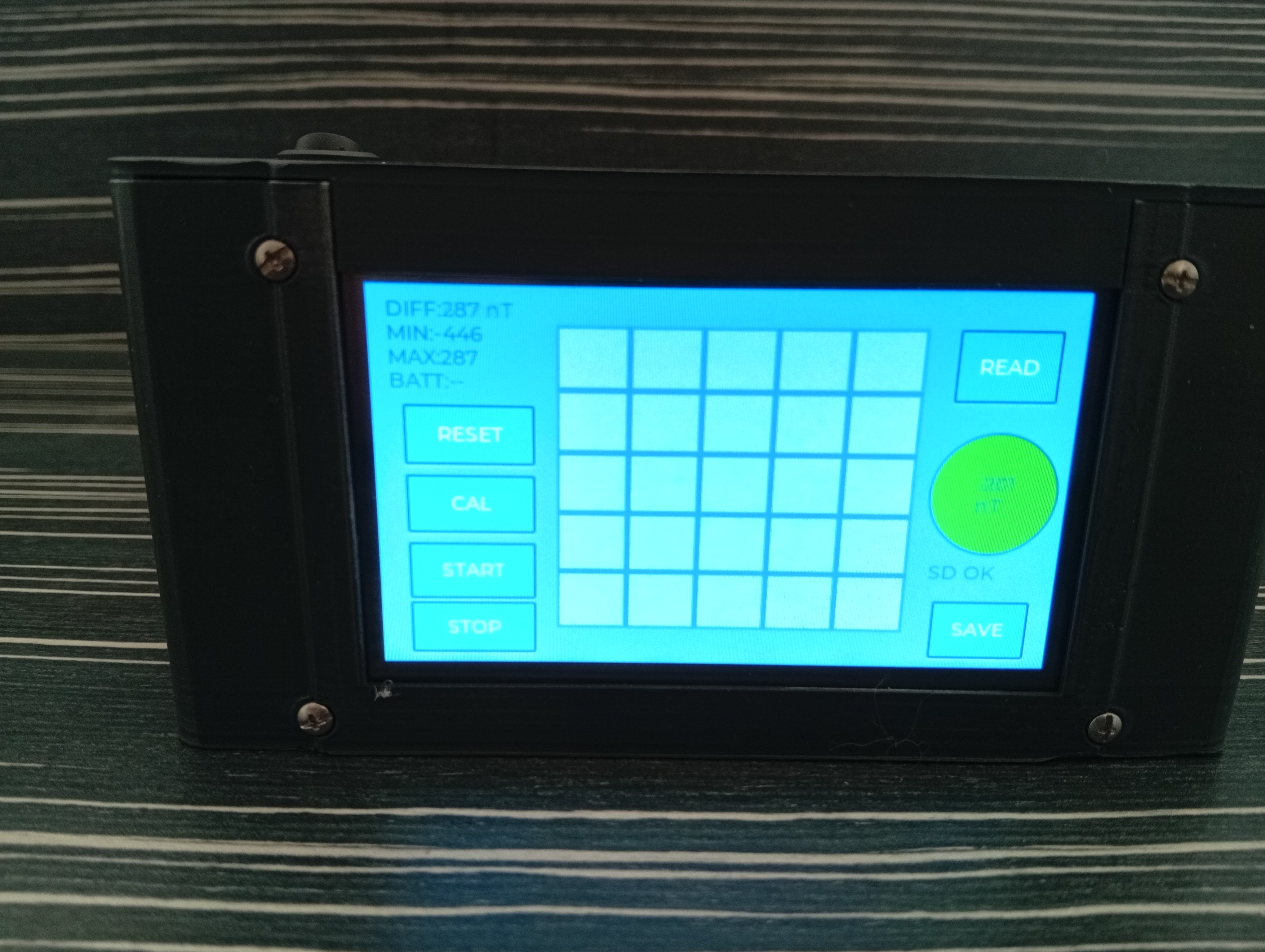
The collected magnetic variation data is visualized directly on the integrated touchscreen interface as a color heatmap.
FEATURES
• Dual Fluxgate Sensor System
• Real-Time Heatmap Visualization
• Portable Handheld Design
• ESP32 HMI Touchscreen Interface
• SD Card Data Logging
• Standalone Field Operation
• Rechargeable Battery Powered
• Differential Magnetic Field Analysis
• 5x5 Grid Mapping Workflow
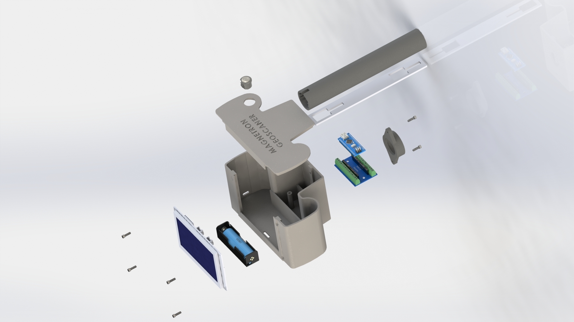
• DIY Friendly Modular Structure
Website:
www.magnetrongeoscan.com
PACKAGE CONTENTS
• STL Files
• Assembly Guide
• Wiring Diagram
• User Manual
• ESP32 HMI Firmware
• Arduino Nano Firmware
• Example Scan Images
• Exploded Assembly View
BASIC SERIES
The BASIC series is designed as a standalone portable field unit with onboard heatmap visualization and SD card logging.
Advanced MAGNETRON GEOSCANNER series devices may include:
• Live PC Connectivity
• WiFi Telemetry
• Large Area Scanning
• Advanced Desktop Visualization
• Extended Analysis Tools
• High Resolution Mapping Systems
IMPORTANT DISCLAIMER
This device is intended for educational, experimental, geological, and hobby research purposes.
The device measures and visualizes relative magnetic field variations only.
Interpretation of magnetic maps depends on environmental conditions, soil structure, local geology, and operator experience.
Supported Magnetic Sensors:
EMS100 series
FLC100 series
FGM-3 series
DRV425 based magnetic sensor modules
The system reads the analog magnetic field output from two vertically aligned sensors and processes the differential magnetic variation between them.
Depending on the selected sensor type, users may observe differences in:
sensitivity
noise level
drift stability
response speed
magnetic resolution
EMS100 and FLC100 sensors were used during the primary development and testing of this project, but compatible analog magnetic field sensors with similar output behavior may also be adapted by advanced users.
CONTACT E-Mail:
info@magnetrongeoscan.com
:format(webp)/https://fbi.cults3d.com/uploaders/48386853/illustration-file/6b4d29ae-2a71-470e-8ad9-adfcb3dcaf7f/basic-mix-clean-back.png)
/https://preview3d-images.cults3d.com/e0y6dspybyij26llb6kdxtpfycas)
/https://preview3d-images.cults3d.com/bttg9yhci76fdvnflln201h04mm3)
/https://preview3d-images.cults3d.com/fjk1j4k6v0v20iixtj987f6xp86v)
/https://preview3d-images.cults3d.com/yvwwmblldyk6dsqfoz6n40upef90)
/https://preview3d-images.cults3d.com/3l66och46mh3hyjt0kqgtx6h3wr8)
/https://preview3d-images.cults3d.com/rk6r92ucvbjgmcjcgn2j73jp67hq)
/https://preview3d-images.cults3d.com/8ysatapoljmm9idhtn2q8mtp1eef)
/https://preview3d-images.cults3d.com/wurdg2fw3ukje93d5fsplgtygxj1)
/https://preview3d-images.cults3d.com/86mel0y68qubhqro0qc7sez1olfv)
/https://preview3d-images.cults3d.com/jos06oapkxt3exdwfigyx3y9iash)
/https://preview3d-images.cults3d.com/z85w77cysfeey3nxlu05y4mxeu40)
/https://preview3d-images.cults3d.com/gawbr5l11es6lsxqt9cj85rbtexj)
/https://fbi.cults3d.com/uploads/user/avatar/48386853/chassis.png "edosari")


:format(webp)/https://fbi.cults3d.com/uploaders/48386853/illustration-file/5b112b40-88f6-416b-88d3-be497fafa15d/cap.png)